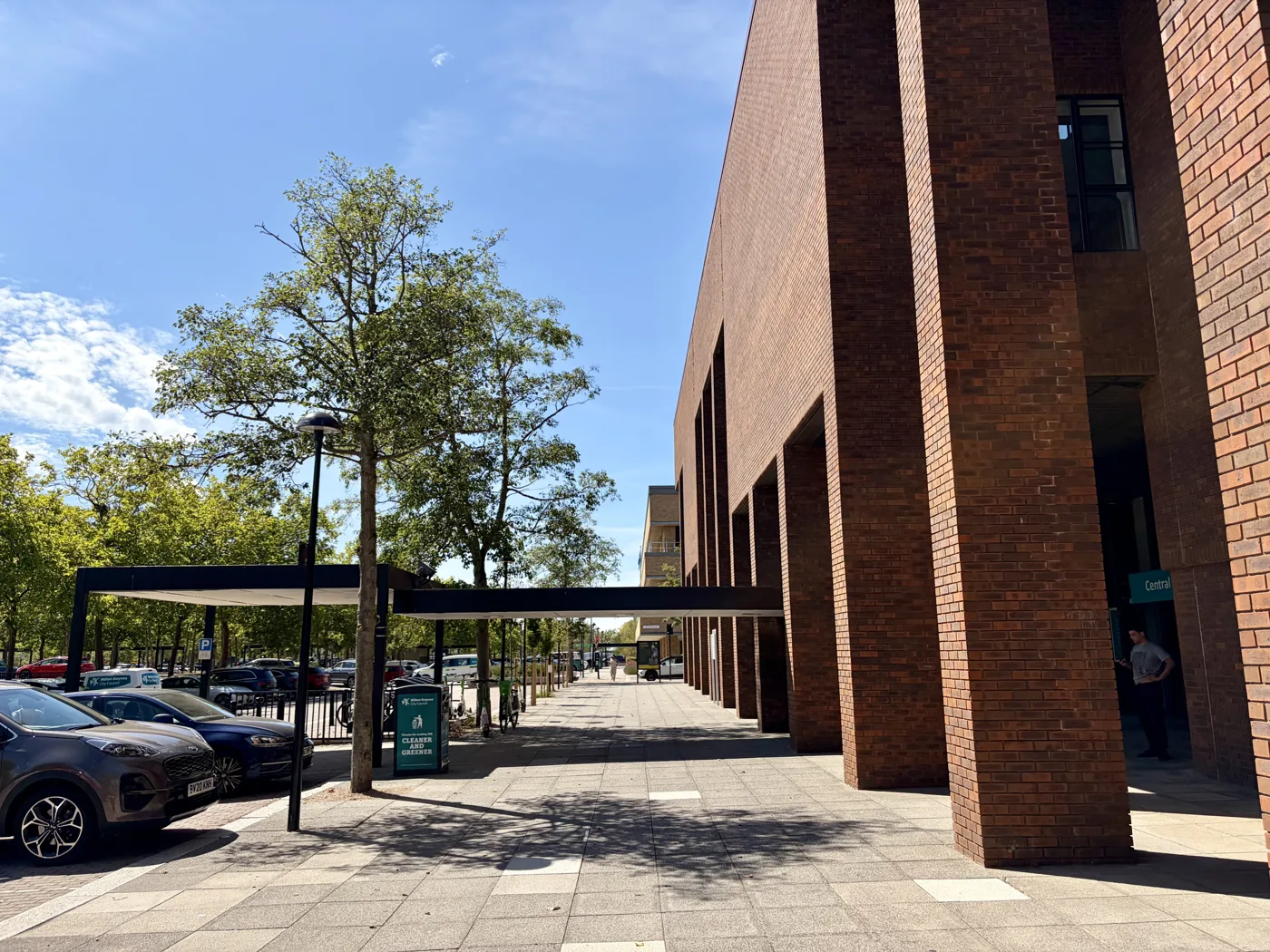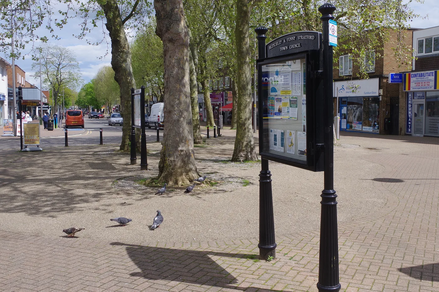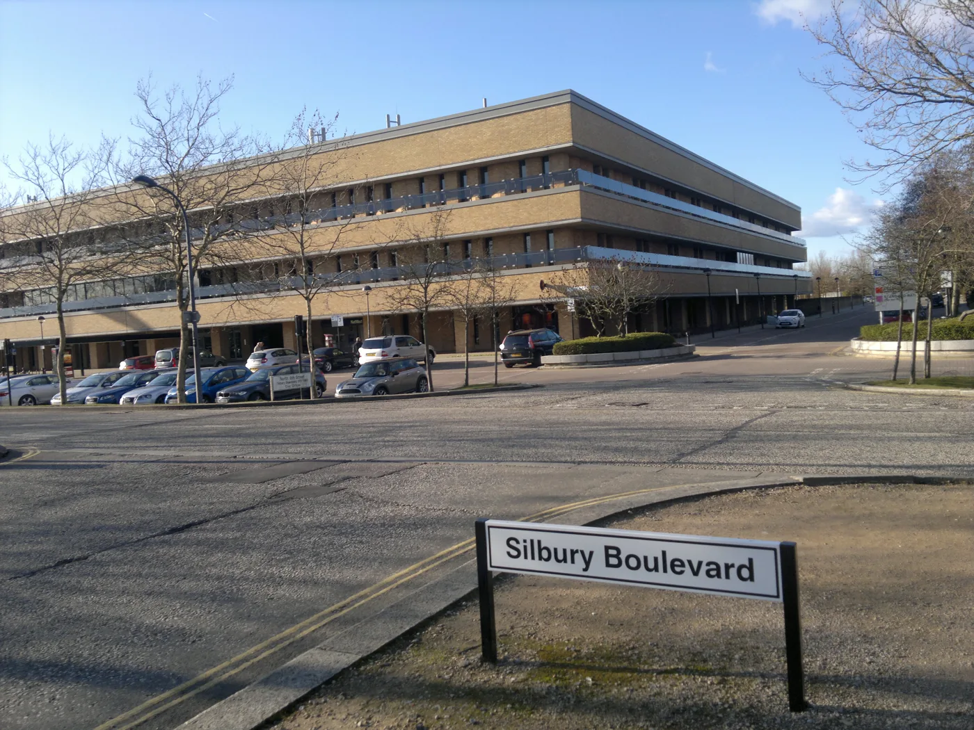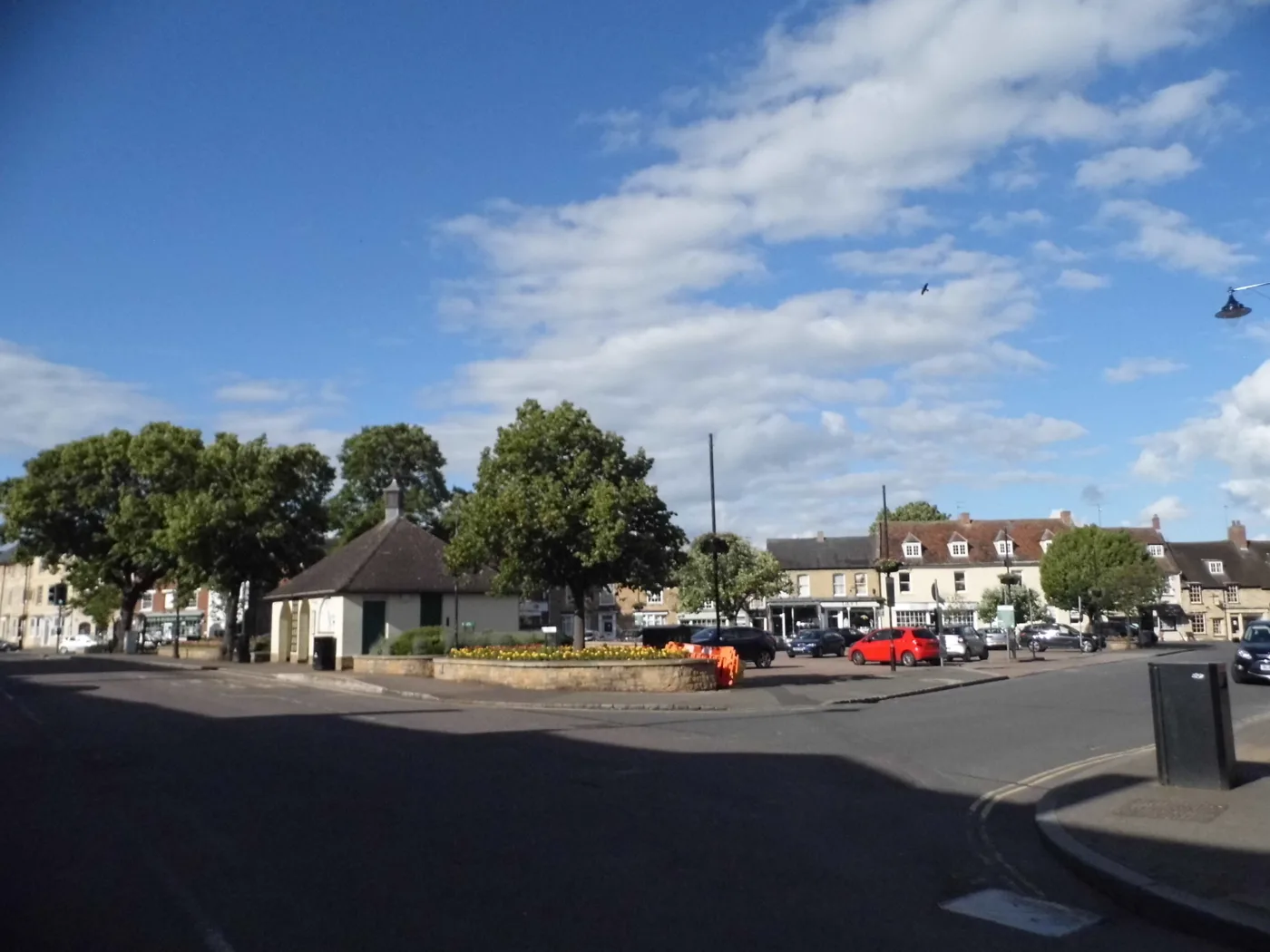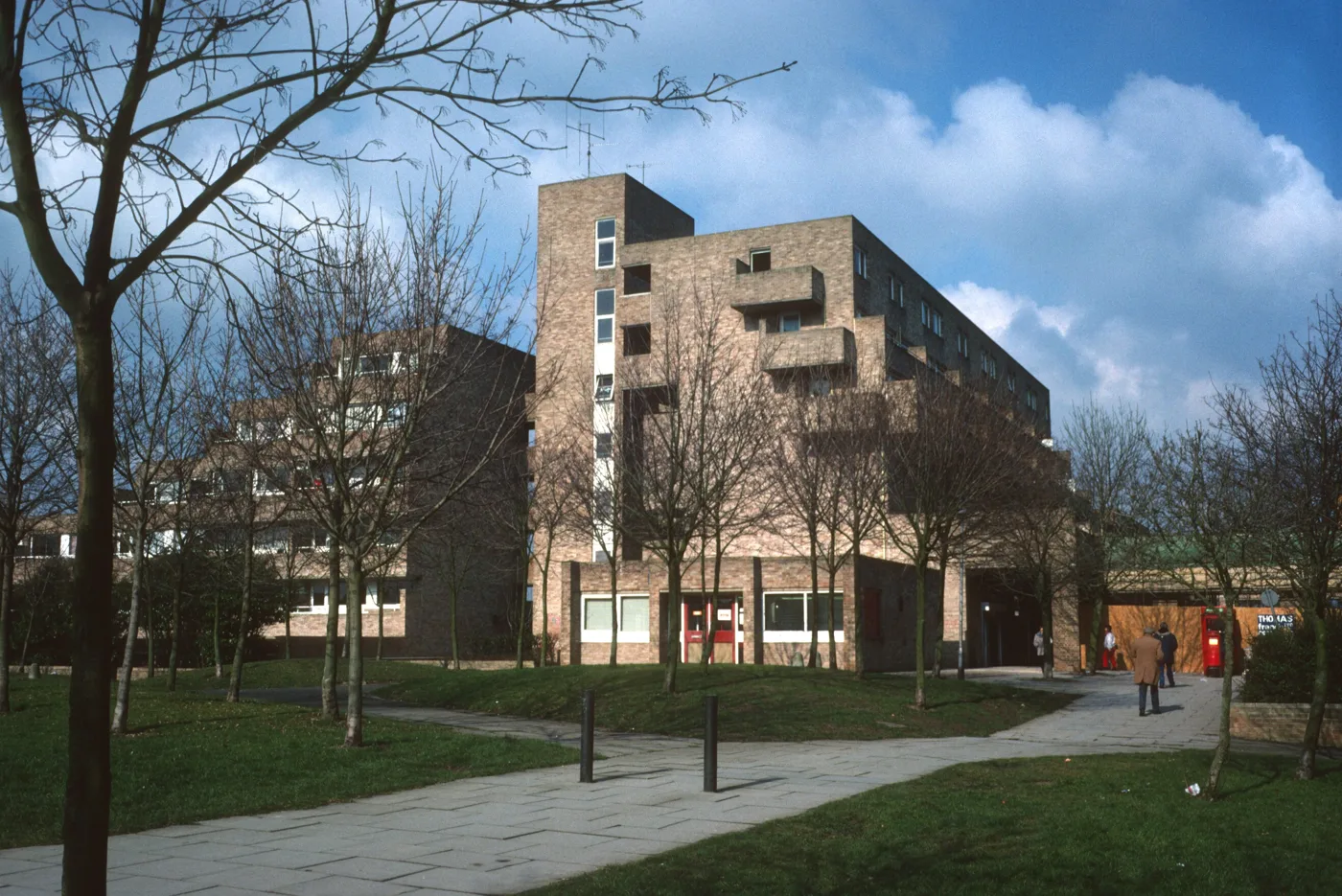
Milton Keynes was designated in 1967 and laid out on a grid, and it is one of the few places in England where you can give directions by number. The H roads run one way, the V roads the other, and the estates sit inside the squares between them with the redways threading through. Bletchley, Wolverton and Stony Stratford were here long before the new town arrived, and Newport Pagnell keeps its own high street to the north east.
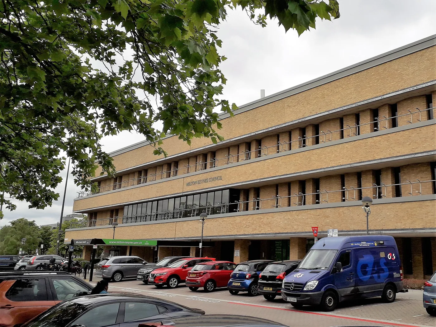
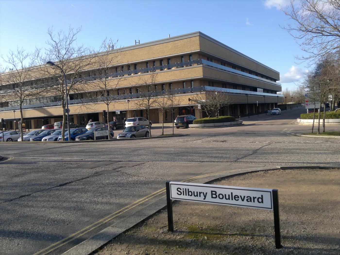
MK Daily reports what the record shows across all of it. Milton Keynes City Council is a unitary authority, so planning, bins, roads, licensing, council tax and schools all sit with the same body, and there is nobody else to pass a question to. It publishes the evidence for its decisions where hardly anybody reads it. We read it and write it up, with a link to the document every time.
Where things are
- Local Info: bin collection days, parking and council tax bands.
- News: the public record, including planning applications across the city and the older towns.
- What’s On: what is happening in MK this week.
Every figure links back to the source it came from.